Terrain at a glance
| Map | Strongest official terrain cue | What makes it distinct in this index |
|---|---|---|
| Thanh Hóa Bridge | River, bridge and mountain approaches | One dominant crossing landmark |
| Huế Outskirts | Terraces, industrial ground and waterways | The strongest vertical and industrial mix |
| Vạn Tường | Villages, vegetation and a river network | Water routes divide rural ground |
| Quảng Ngãi | Flooding, caves, bamboo and low ground | The wettest and most enclosed terrain description |
| Đắk Tô Airfield | Long airstrip and hilltop fortifications | The clearest open runway space |
| Cam Ranh Port | Dunes, waterways and industrial port | Dockside structures meet open coastal approaches |
The launch index
Thanh Hóa Bridge
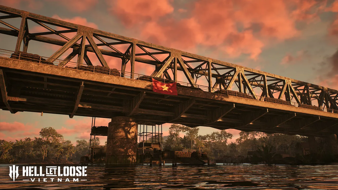
A river-and-bridge battlefield with mountain and jungle approaches, villages, and a rail-yard area that brings parts of the fight into closer range.
Huế Outskirts
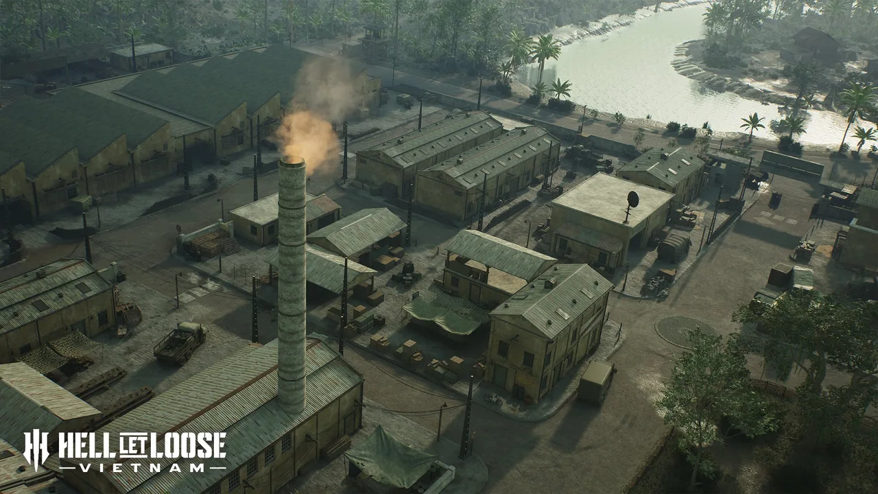
Mountains, terraces and dense vegetation meet industrial ground and waterways, producing strong vertical changes and close engagements.
Vạn Tường
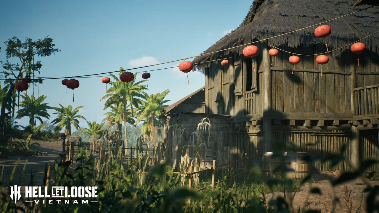
Villages and dense vegetation are crossed by a river network where boats can change how forces move between areas.
Quảng Ngãi
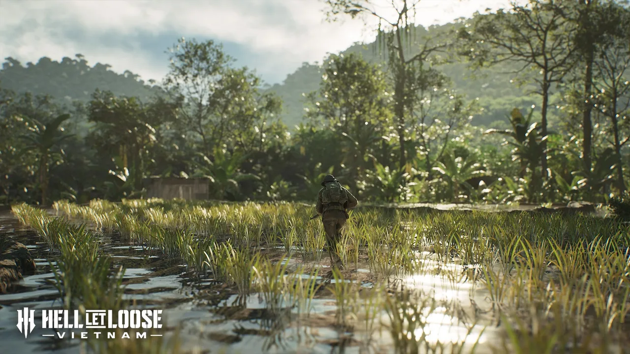
Monsoon flooding, rock caves, bamboo, low ground and river crossings define the official terrain description.
Đắk Tô Airfield
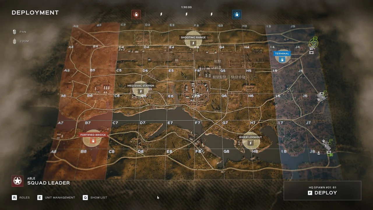
An exposed airfield and open runway create room for armour and reconnaissance around fortified positions, villages and jungle.
Cam Ranh Port
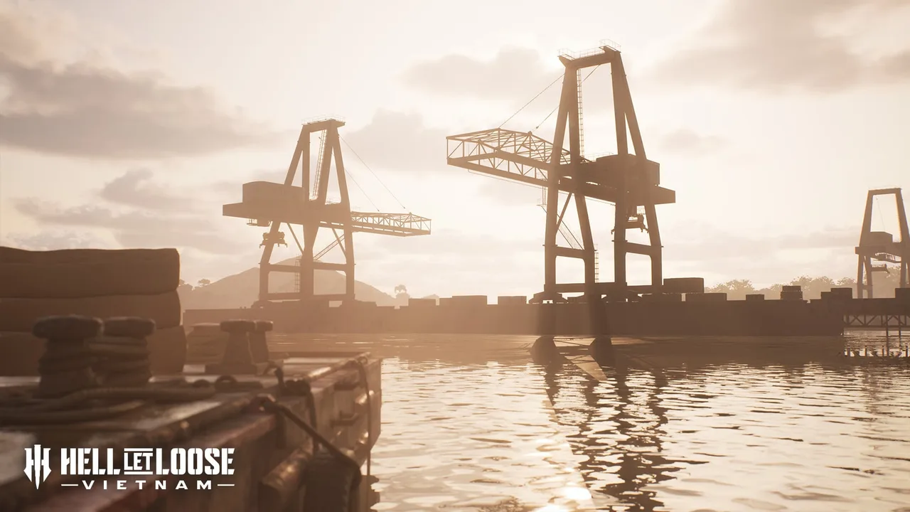
Military facilities, dunes, southern waterways and an industrial port pull the battle between open approaches and close dockside fighting.
What the list can—and cannot—tell you
These descriptions help you recognise each official environment before deployment. They do not claim tested routes, vehicle timings, spawn positions or a best strategy. Those details require versioned, reproducible in-game observation that this source-led edition does not yet have.
The official material checked here does not publish a permanent map-to-mode compatibility table or a live rotation. Use the four-mode comparison for victory logic, then confirm the active combination inside the current server rather than treating this launch index as a schedule.